2018 NEW Kilauea Lava Flow!
I’m writing this post for those of you reading this on the Mainland US and beyond….the latest National news regarding the 40 acre lava flow in the Puna/Volcano district of our island is real but the scale and scope of it’s effects are really minimal in the big picture as it relates to our location on the Kohala Coast. This isn’t stated to minimize the experience of 1000’s of residents that have been evacuated and or displaced but I state this as the island of Hawaii is the size of Connecticut and some of us live 100’s of miles away!! The only real action was 2, large earthquakes on Friday, May 4th. One was a 6.2 and the second larger quake was a 6.9. I was at my office looking outside and could clearly see the large columns that hold up the roof above the outdoor lanai flexing and swaying back and forth. My fear was the roof would slide off to one side as the foundation moved in the opposite direction-scary.
I’m very thankful to those friends and family that have texted, called and emailed as I haven’t heard from many of you in years. 
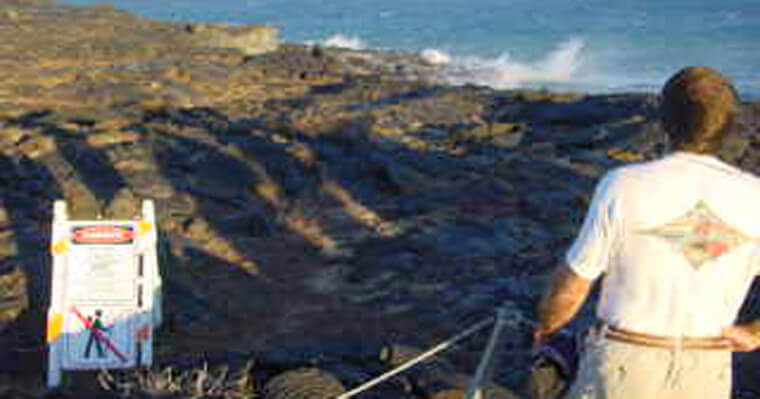
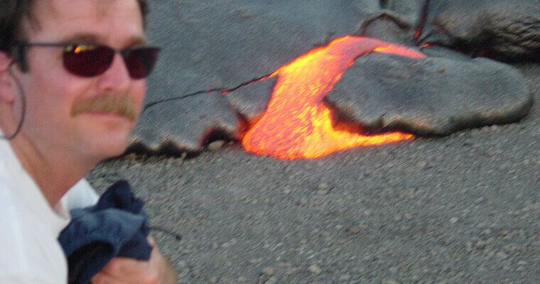
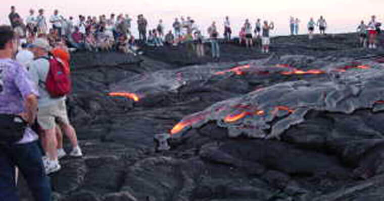
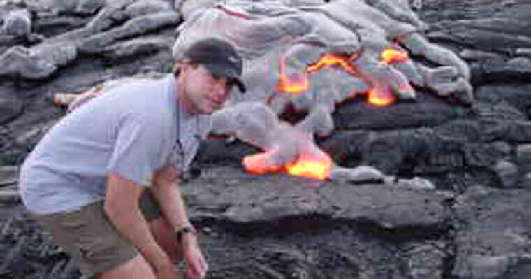
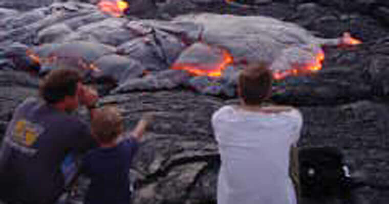
Check out the photos from previous years where Lissette, myself and friends walked right up to active flows with no problem other than the extreme heat and noxious fumes. Shortly after these shots were taken we walked out at night over a fresh lava flow until we started to notice the lava becoming hotter below our feet and the cracks opening up larger. As we walked we peered down into the cracks to see a river of molten lava flowing 20’ or more directly underneath us. Even though the trail had been marked by the Volcanoes National Park Rangers with reflective markers I found what looked like an old flow with obvious amounts of tall grass and cut a short cut back through it to our hikes starting point. I’ll never do that again!
I found an article titled “Big Island: How Land Schemes Turned Lava Fields Into Subdivisions” within the Civil Beat website that contains many facts concerning the affected real estate developments near the Kilauea Volcano and their late 1950’s and 60’s developers.
The article states the facts as they are and states them better than anything I could research and provide.
Also check out the United States Geological Survey’s East Rift Zone Maps. Check out particularly the thermal map of fissure system overlaid over the aerial subdivision map:
https://volcanoes.usgs.gov/volcanoes/kilauea/multimedia_maps.html
Some of the more interesting facts that this article includes are these:
- In 1958 Glen Payton and David F. O’Keefe purchased 12,000 acres and subdivided it into +/- 4000, 3-acre lots called “Hawaiian Acres”. Lots were sold with owner financing for $500 to $1000 each with $150 down and $8 monthly.
- In 1960 another 2231 acre subdivision was established by Kenneth W. Ing where the current eruption is located called Leilani Estates sited directly on top of Kilauea’s East Rift Zone. In an article by the Honolulu Star-Bulletin at the time they reported, “There’s Little Danger from Volcanoes” and the developer also claimed that “volcanic risk” to his development was essentially less than “one in a thousand.” He based his claim on calculations by a University of Hawaii geology professor, Dr. Gordan MacDonald, who had said that since 1750, lava had covered only 20 square miles out of an east Puna area of 125 square miles: “On this basis, the likelihood of lava covering any given plot of land in any single given year is less than .1 percent.”
- By the 1970’s over 80,000 lots had been developed in this small area when the population of the Big Island was only 80,000 people total.
- Pam Frierson, in The Burning Island, compares those developments to similar ones that were sprouting up elsewhere in America’s sunbelt, from Florida to the Southwest: “Large scale speculative subdivisions were being carved out of marginal lands — desert, tidal flats, lava lands — and sold as cheap ‘retirement’ or ‘investment’ properties.”
- County officials had a huge incentive to go along with the land schemers: a windfall in property taxes from those thousands of new lots. In 1987, Frierson asked then-Hawaii County Planning Director Albert Lono Lyman why the county had acquiesced to all those substandard subdivisions.
- The island ended up with most jobs along the Kohala Coast’s “Gold Coast” on one side of the island and its affordable housing on the other side, generating another local term: the “5 o’clock derby,” for the early morning commute between Puna or Kau and the North Kona/Kohala resorts-some 100 miles a way.
- Inexpensive building lots are the primary reason why Puna is the fastest-growing district on the Big Island currently. In his Civil Beat article author Alan D. McNarie states “According to the Hawaii County General Plan, the district held about 31,300 people in the year 2000. In 2015, the Puna/Volcano district’s population has soared to nearly 50,000. By 2020, it’s expected to reach 58,000, surpassing Hilo to become the island’s most populous district. It’s achieved that remarkable growth despite the loss of four communities to lava flow inundation since the 60’s.


